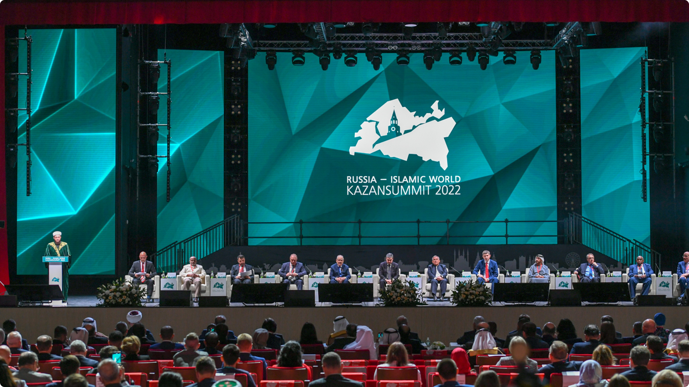
International Partnership in the Geospatial Support of Countries Organizer: The Federal Service for State Registration, Cadastre and Cartography (Rosreestr)
International Partnership in the Geospatial Support of Countries Organizer: The Federal Service for State Registration, Cadastre and Cartography (Rosreestr)
Time: May 15, 1:30 p.m. – 2:30 p.m. Moderator: Yelena Martynova, Deputy Head of Rosreestr, Head of Digital Transformation.
Invited speakers:
Oleg Skufinsky, the head of Rosreestr;
Alexander Lomakin, the First Deputy Minister of Construction, Housing and Utilities
Rustam Nigmatullin, the First Deputy Prime Minister of the Republic of Tatarstan
Vladimir Koshelev, the First Deputy Chairman of the State Duma Committee on Construction and Housing and Public Utilities
Tamer Inan, a Deputy Director General of the Central Directorate of Land Registry and Cadastre with the Turkish Ministry of Environment, Urbanization and Climate Change.
Vladislav Zhdanov, the head of Public Law Company “Roskadastr”
Ali Javidaneh, the Director General of the National Cartographic Center of the Islamic Republic of Iran
Akmaldzhon Omonov, the Director of the Republican Aerogeodesic Center of the Republic of Uzbekistan.
During the "International Partnership in Geospatial Support of Countries" session Head of Rosreestr Oleg Skufinsky spoke about the implementation of the National Geospatial Data System project in Russia, which was introduced on December 25, 2023 and encompasses 52 regions of the country. It all started in the Republic of Tatarstan, which is currently the country’s leader in this sphere. "The Unified Digital Platform of the NSPD is integrated today with 56 information systems (IS): 19 - federal state IS, 35 - state IS of the Russian Federation’s subjects, 1 - municipal IS, 1 - IS of Roscosmos State Corporation," he said. First Deputy Minister of Construction, Housing and Utilities Alexander Lomakin stressed the importance of setting up such systems. “Geographic information systems allow to process all the necessary geospatial data that can be used and then made available to interested parties, including the construction developers if needed… The systems must be constantly upgraded to a higher technological level in order to cut short the investment construction cycle.”
First Deputy Prime Minister of the Republic of Tatarstan Rustam Nigmatullin said that, thanks to the National Spatial Data System, it became possible to modernize the previously registered facilities. In this regard, 55,000 registry errors were corrected free of charge for the region’s population. International cooperation in geodesy, cartography and spatial data contributes to the actual formation of digital maps, geographic data systems and modern spatial planning tools, which may have an impact on people's lives, business operations and the economic development of nations. Tamer Inan, a Deputy Director General of the Central Directorate of Land Registry and Cadastre with the Turkish Ministry of Environment, Urbanization and Climate Change, noted that such system would be particularly sufficient for Turkey, as the country is often hit by earthquakes. It would be required in order to save as many lives as possible in emergency situations, because it is necessary to have data about the state of land plots and the population’s number within them.
The 15th International Economic Forum "Russia - Islamic World: KazanForum 2024" is being held on May 14-19 in Kazan. This year's keynote is "Trust and Cooperation." The main goal of the forum is to strengthen trade and economic, scientific and technical, social and cultural ties between Russian regions and the countries of the Organization of Islamic Cooperation (OIC), as well as to promote the development of the Islamic financial system institutions in Russia.
