New instruments of investment policy and territorial development of the Russian regions
New instruments of investment policy and territorial development of the Russian regions
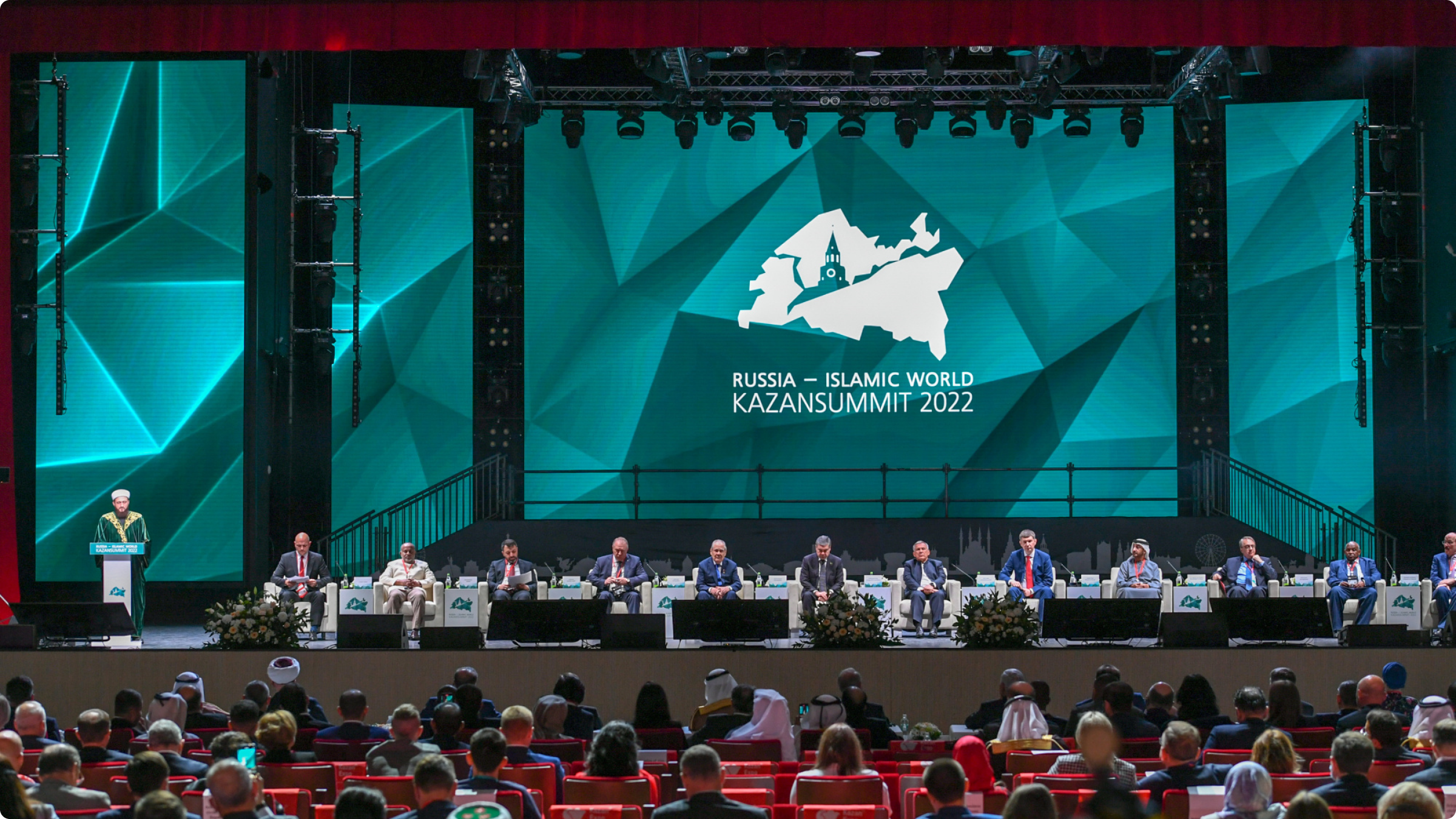
18 MayOrganizer: Federal Service for State Registration, Cadaster and Cartography
Venue: the city of Kazan, IEC KAZAN EXPO
Time: 18.05.2023, 17:20–18:40
Moderator: Martynova Elena Valeryevna, Deputy Head of Rosreestr.
Speakers:
Repik Aleksey Evgenyevich, Chairman of the All-Russian public organization “Delovaya Rossia”;
Skufinskiy Oleg Aleksandrovich, Head of the Federal Service for State Registration, Cadaster and Cartography (Rosreestr);
Hamed Khamis Alqaabi, General Director of the UAE Federal Geographic Information Centre;
Ali Javidane, General Director of the National Cartographic Center of the Islamic Republic of Iran;
Mikhailik Konstantin Aleksandrovich, Deputy Minister of Construction, Housing and Communal Services of the Russian Federation;
Sooronova Nuria Rakhmanberdievna, Deputy Director of the Land Resources Service under the Ministry of Agriculture of the Kyrgyz Republic;
Koshelev Vladimir Alekseevich, Member of the State Duma of the Russian Federation, First Deputy Chairman of the State Duma Committee on Construction and Housing;
Aslan Mustafa, Head of the Cadaster Department of the General Directorate of Registration of Property Rights and Cadaster of the Ministry of Environment and Urban Affairs of the Republic of Turkey;
Zhdanov Vladislav Leonidovich, General Director of the Roskadastr, PPK.
The location of objects data is the basis of information processes in management, communication between the state and citizens, business processes and economic activities. Spatial data today make it possible to solve problems vital for society, contribute to the development of the economy and increase the investment potential of territories. Reliable, accessible and up-to-date integrated spatial data systems are recognized by the international community as the basis for land management adequate to current environmental, economic and social challenges.
A unified digital platform “National System of Spatial Data” (NSSD) is being created in the Russian Federation in order to implement the List of Initiatives of social-economic development till 2030. The system should become a tool for the spatial development of Russia: it will increase the capitalization of the country's territory and improve the quality of real estate turnover. Oleg Skufinskiy, Head of Rosreestr, noted that the NSSD developed by Rosreestr will solve the problem of combining disparate data coming from various information systems into a unified platform solution and provide real time access to the country's relevant spatial data. The resource helps establishing federal geodetic network, unified electronic cartographic basis of the country, complete register of land plots and real estate located on them. To date, 11 NSSD services have been implemented, their pilot implrmrntation is carried out in 31 regions of the country.
The participants of the session discussed the issues of geospatial provision of states and shared information on foreign experience of using spatial data for effective management, social and economic development on the example of Turkey, Kyrgyzstan, the United Arab Emirates and Iran.